To arrange transport for the next leg of the trip took quite some time. The Manali-Leh Highway is one of the most dangerous roads of the world: 460 km, 5 passes, several checkpoints and a lot of potholes. There were government, shared jeeps or you could hire your own jeep. I asked several travel agents - at some point they said that on my departure day there would be a strike, so I went to some more until I fixed a jeep for 11,000 rupees.
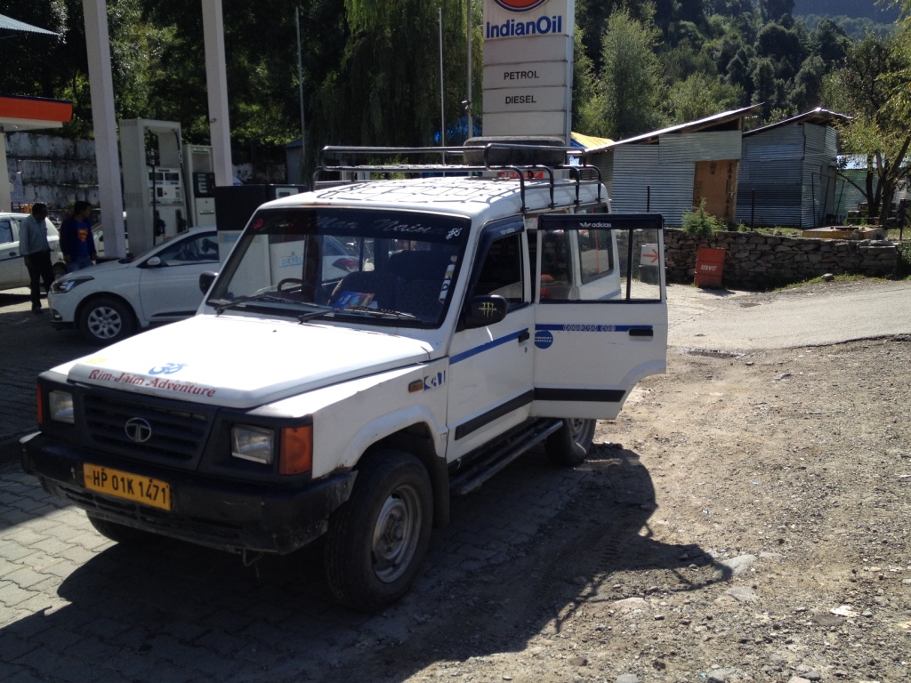
My Jeep
My driver picked me up at 9:30 and for the next 2 hours drove up though the lush green Kullu valley to Rothang La and the trip nearly ended at the checkpoint below as my driver had only a permit to the pass but not to Leh. We did one of the officers a favor by taking a bike rider up to the pass and we allowed us to move on.

First traffic äh sheep jam

Kullu valley

Road to Manali in the Kullu valley
Rothang La is a day trip for most people staying in Manali and a lot of Indians come up here and go to a snowfield - the first snow in their life. My driver offered to stop, but as snow was nothing special for me I asked him to go on.

Rohtang La (3980 m)
We went down on the other side, the area less green but a stream (Chenab River) and village (Gramphu) in the valley. Buses, Jeeps and trucks winding their way down on a non-paved road. At one point, we had to wait for a road construction machine to re-do part of the road.


We headed northwest and stopped at the Checkpoint in Khoksar for lunch. I had some simple dish with an Israeli couple who always stopped at the same viewpoints like me but would do a side trip to Spiti.


One of the longest stretches of the trip was soon to follow - for the 12 km between Thorang and Tandi it took about 1 hour. The road was a narrow sand strip with the mountain on one side and the slope to the river on the other.

sandy road
In Tandi, there was the first fuel station and a long queue. After fueling up we turned to the northeast and passed soon Keylong - one of the bigger towns on the highway. As it was still early in the afternoon, we continued on a good alpine road to Jispa. The fastest part of the first day.

Keylong valley

better road with side border

Bhag River
In Jispa, I stayed at the Padme Lodge. After some negotiating, I convinced the staff that I don't need the expensive "penthouse" room with mountain view as sun was already setting and I would be gone long before sunrise.

After a short night, my driver and I left at 5:30 in the morning. Another 10 minutes of good road before we hit the next Checkpoint at Darcha. Then the road detoriated tremendously. We passed military transit camps - that were several of them on the 460 km of Manali-Leh Highway. We crossed the Baralach La (4890 m) and I was hit by mountain sickness. So I was very happy when we stopped for breakfast in the valley.

Breakfast tent - omelette on toast
We took two local women to the hospital in Sarchu - the road was good and the mountain valley views fantastic.

Road to Sarchu

Canyon at Sarchu
From the canyon, we moved up the Gata Loops to the next two passes: Nakee La (4740 m) and Lachunglang La (5079 m).

Arch on the Gata Loops

Down from Lachunglang La
In Pang, we stopped for lunch - noodle soup with vegetables and then cruised away at the Moore Plains - good strip of road (40 km) only interrupted for little creeks.

The last pass was also highest - Taglang La (5328 m). From here, Ladakh starts - the land of high passes and land of stupas.

Stupa on Tagalong La
The last stop in the mountains was in Miru to wash the sand and dirt off. The mountain range from there to the Indus River featured mineral starts of deep purple and ferrous green.


Leh Valley
I reached my hotel around 4 pm and enjoyed not to be moving for some time.


No comments:
Post a Comment